


Product Details
+
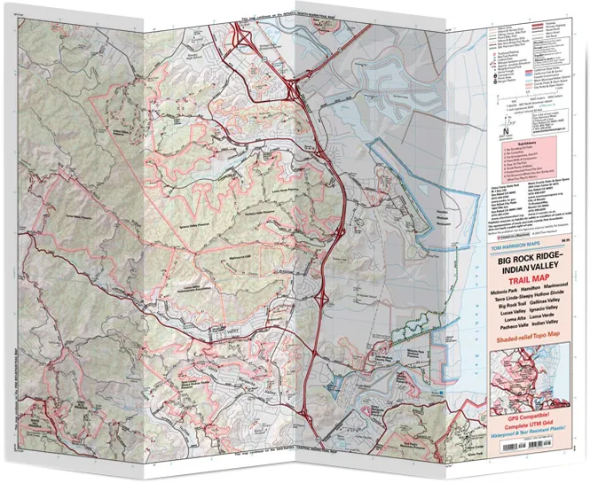
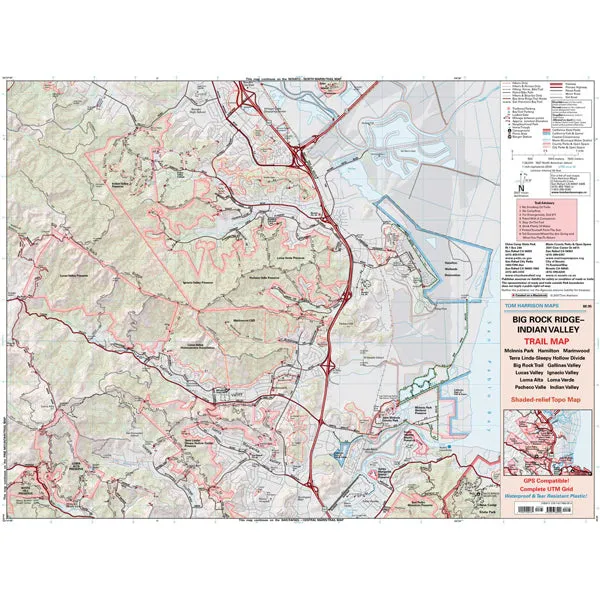
Tom Harrison maps have color-coded symbols and trails. mileages between trail junctions. latitude/longitude. UTM grids. contour lines. vegetation. and elevations at trail junctions.
- Published in 2007
- Scale 1:24.000
- 40 ft contours


 (Vinyl)")


